Section 17: Bat Galim - the Seaside Neighborhood | 3.5 Km
Starting point: Hubert Humphry St., Cable Car Station, Bat Galim | 5m above sea level
Ending point: Hubert Humphry St., Cable Car Station, Bat Galim | 5m above sea level
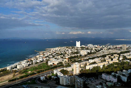
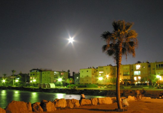
Bat Galim is one of Haifa’s more interesting neighborhoods and the only one that is located on the waterfront. It was established in the 1920s, although the Templars had left their mark there even earlier. The neighborhood was designed by Richard Kaufmann, who was also the architect of Hadar HaCarmel and Nave Sha’anan. Here, too, Kaufmann employed the principles of “garden city” design, whereby the houses are surrounded by gardens. In its early days, the neighborhood was isolated from the other parts of the city and, due to its proximity to the sea, city residents would take their holidays there. In the 1930s, a hospital was established that over the years became the biggest medical center in the north of the country – Rambam Health Care Campus. The hospital, navy base, port, railway station and central bus station, the latter in operation during the 1970s and 1980s, made the neighborhood a central focus of the city.
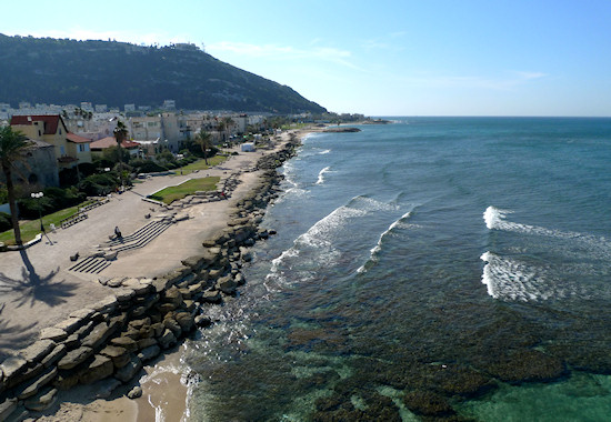
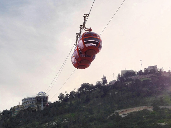
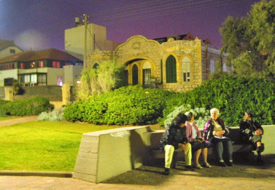
This section of the trail begins at the lower cable car station near the sea. Walk along the promenade, or Pinhas Margolin St., named after one of the neighborhood’s founders paying attention to the old buildings: Victor Cohen House at number 61, Rabbi Hamawi House at number 39 and, the most famous, the “casino” situated at the junction of the promenade with Bat Galim Ave. The casino, now abandoned, was once the heart of the neighborhood. It was constructed in the 1930s and beside it was the first Olympic pool in Israel, famous for its high diving board.
Bat Galim’s beaches are especially loved by water sports enthusiasts. The “Casino” beach and the “Backdoor” beach, further east, are suitable for surfing, with the latter being considered the best surfing beach in Israel. In fact, that beach actually acquired its name due to the similarity of its waves with those of the well-known “Backdoor” beach in Hawaii.
Rambam and the naval base, situated in the eastern part of Bat Galim, interrupt the continuity of the coastline available to the general public.
Continue along the length of the shore as the street changes its name to Aharon (Rosenfeld) St., named after one of the pioneers of sailing in Israel. Turn right into Nahlieli St. and cross Hasharon St. to arrive at Nahalal St. Here are low-rise buildings that give the neighborhood the atmosphere of a small coastal village. Turn right on Nahalal St., following its route slightly leftwards and turn left into Yaakov Caspi St., named after one of the founders of the neighborhood. Turn right into Charles Lutz St., named after a righteous gentile, to arrive at Ha'aliya Hashniya St., the neighborhood’s main thoroughfare, and turn left.
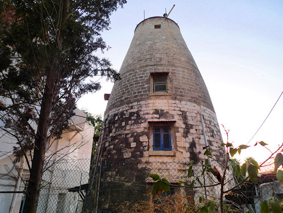
The house at number 22 was built by the Templars who had branched out to Bat Galim from the German Colony. Behind this building are the interesting remains of a windmill used by the Templars. Continue on Ha'aliya Hashniya St. The building at number 14 was also constructed by the Templars, while the stone building at number 12 was once a monastery, but the real surprise apropos monasteries will be seen further on in front of Rambam hospital. The impressive sandstone building, used today by the medical center, was once a monastery established at the end of the nineteenth century by the Carmelite nuns.
Cross Ha'aliya Hashniya St. opposite the hospital’s main entrance to return on the other side of the street. At the second roundabout, turn right into Washington-palm-adorned Bat Galim Ave. Notice the buildings at numbers 10 and 12 that are constructed in the eclectic architectural style. Turn left into Hasharon St. Number 47 is the home of the Krasanti family dating from the 1920s, which is known as “Scandinavia House” and today hosts Scandinavian volunteers. At the roundabout, turn left into Shikmona St. and right into Ha'aliya Hashniya St. Go on a little further to reach the lower cable car station, the end of this section of the trail.
English translation by Roberta Neiger sponsored by the social hub for community & housing, Faculty of Architecture and Town Planning, The Technion
