Section 20: Down the Steps to Wadi Nisnas | 4.8 Km
Starting point: Yefe Nof St. Baha'i Gardens Observation Point | 265m above sea level
Ending point: Corner of Hagefen St. and Ben-Gurion Blvd. UNESCO Square | 45m above sea level
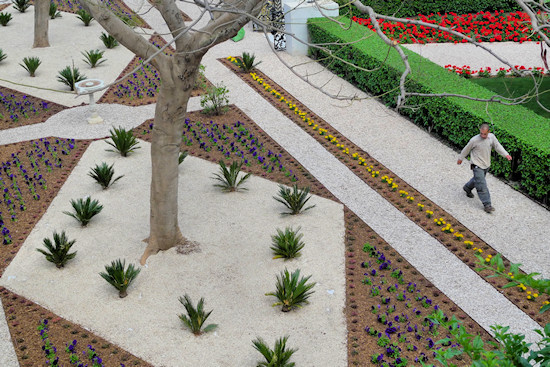
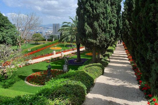
This section of the trail follows the Carmel slope via steps from the upper to the lower part of the Baha’i Gardens, which may be viewed from the observation point on Yefe Nof St.
From the Baha'i Gardens observation point cross Yefe Nof St. and ascend the steps to the promenade above the street – the Louis Promenade. Concealed in the wooded area above the observation point is an obelisk, erected during the visit of the German Kaiser Wilhelm II in 1898, and a French canon dating from the first world war.
Proceed in a south-easterly direction along the promenade towards Panorama Towers. To the left are views of northern Israel. Pass under a circular structure – the Rondo restaurant, which is part of the Dan Carmel Hotel. Both restaurant and hotel were designed by the architect Shmuel Rosov. The hotel was the first building to be constructed on the Haifa Carmel Ridge in the 1960s, and at the time its construction at this location was controversial.
Next to the hotel is the Tikotin Museum of Japanese Art offering permanent collections and changing exhibitions that reflect the richness of Japanese art and culture.
Leaving the promenade, continue up to the terrace at the foot of Panorama Towers. The terrace encircles the towers and continues on a small pedestrian bridge above Sha’ar HaLevanon St. From the bridge, continue down the ramp into Sha’ar HaLevanon St. Opposite is the Carmel Center where rest and refreshments may be taken before the descent.
Go down Sha’ar HaLevanon St. into Yefe Nof St. and turn right in a south-easterly direction.
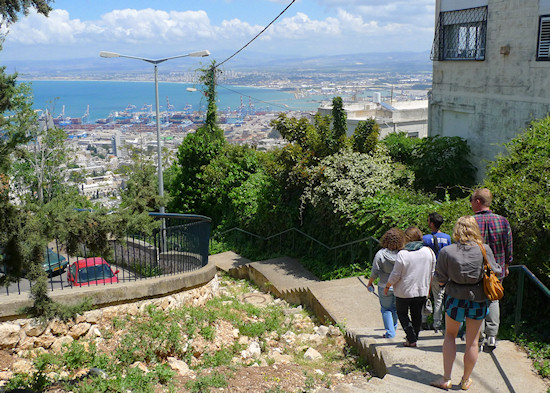
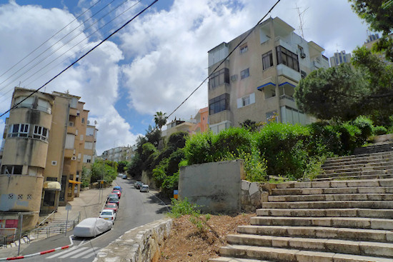
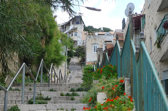
A sign beside number 105 points left to a flight of steps – Gedera steps, the beginning of the steps path towards the lower city. Follow the steps down. Most of Haifa’s streets run parallel to slope contour lines in order to alleviate the inclines and they divide the slope of the Carmel into levels. To move between the levels, one can follow the curve of the streets or use the steps that connect the levels. These “modest” flights of steps, apart from their functionality, lend a special dimension to the urban fabric of the city. Descending (or ascending) them reveals peaceful corners that it is hard to believe exist in the bustle of a large city and permits an almost improper glimpse into the lives of Haifa residents. Descend the Gedera flight of steps that winds down among the buildings against the background of a beautiful view north into Henrietta Szold St. Cross the street and continue down Gedera flight of steps to HaHashmonaim St.
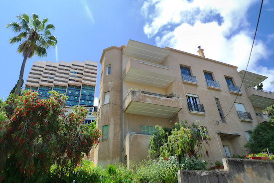
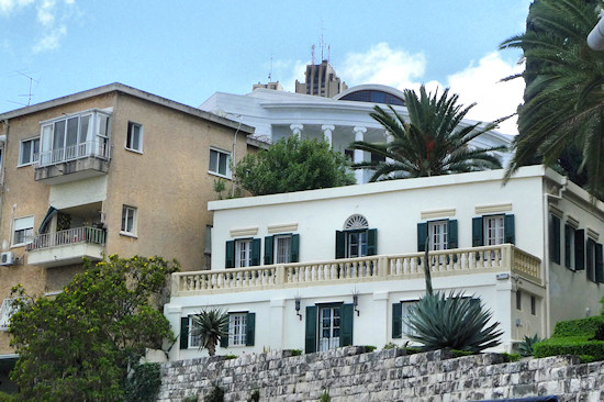
Turn left on HaHashmonaim St. Notice the interesting residential buildings facing the street on the left and those surrounded by greenery on the right.
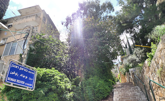
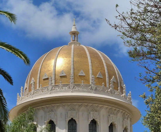
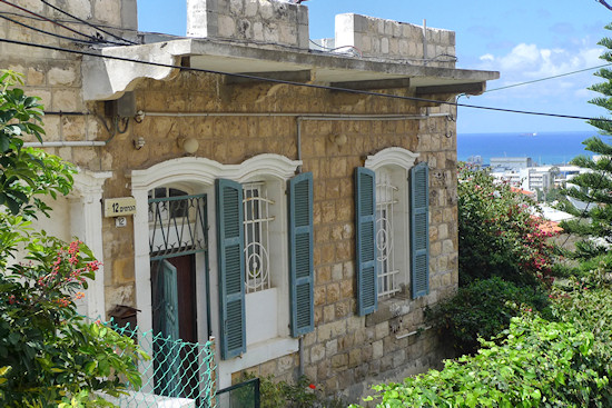
After about 500 meters, at number 40, walk down the path into a public garden. The path curves down through public spaces and eventually leads to Golomb St opposite number 27. Cross Golomb St. and turn right ascending the street. Walk down the steps of the Carmelit subway station without entering the subway itself and turn left to continue down among buildings and vegetation. Turn left again to reach a long, picturesque alley that winds its way among the buildings, Shahar Alley. The alley is named after a Zionist Hebrew journal that was published in Vienna at the end of the nineteenth century. The end of the alley merges into Koresh Steps, turn right down the steps. Since Golomb St. curves, Koresh Steps lead to the street’s lowest point. Here, turn left and at the bend opposite the fence enclosing the Baha’i institutions, turn right onto Bunyak Steps that lead down onto Hillel St. Turn left on Hillel St. Impressive stone houses stand on this part of Hillel St. Hillel St. leads to HaTziyonut Blvd., turn left in an upward direction to approach the Baha’i Temple, another opportunity for a visit (See detailed description in Section 19).
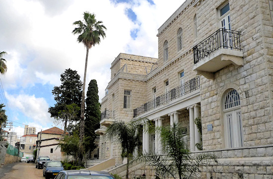
Turning right into Shifra St., the trail continues in front of the compound. Go down Shifra St. and follow its curve – the street leads to steps that pass between the picturesque buildings to reach Abbas St. Turn right on Abbas St. On the right is a stunning nineteenth-century building: the Sisters of Nazareth Convent High School, one of Haifa’s most exclusive high schools. Continue on Abbas St. until it meets HaTziyonut Blvd. and turn left.
Cross HaTziyonut Blvd at the traffic lights with Shabtai Levi St., named after Haifa’s first Jewish mayor and one of the founders of the Herzliya neighborhood at the beginning of the twentieth century. The Herzliya neighborhood was in fact the first settlement on the Carmel Ridge and preceded the establishment of the Hadar neighborhood. Today, the Herzliya neighborhood has been swallowed up by Hadar HaCarmel (the neighborhood area is situated around Herzliya St., located two streets above Shabtai Levi St.).
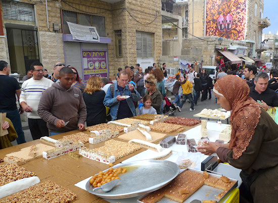
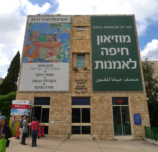
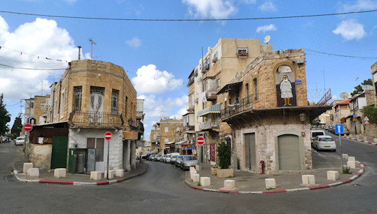
At the junction of HaTziyonut Blvd. and Shabtai Levi are two important institutions: Beit Hagefen is a center for multicultural activities and the Haifa Museum of Art puts on changing art exhibitions. Continue up Shabtai Levi St. and turn left onto the steps that lead down through Wadi Nisnas, which today serves as the central artery of the Wadi Nisnas neighborhood. Wadi Nisnas is a kind of village in the heart of the city with an abundance of buildings and styles, and possesses a special atmosphere.
HaWadi St. becomes an open museum displaying the art of artists from all religions. Around December the neighborhood becomes the focus of the “Festival of Festivals” marking Hanukkah, Christmas, Ramadan, and Eid Al-Adha, which symbolizes the co-existence (or multi-existence) of all religions in Haifa. “Getting lost” in the neighborhood’s alleys before returning to the trail is highly recommended.
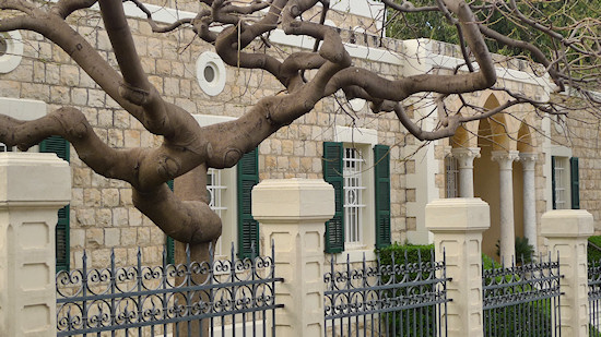
From HaWadi St. continue through the market into Yohanan Hakadosh St. and turn left in a westerly direction through the alleys into at-Tograai St. From here, join HaTziyonut Blvd, walking up a slight incline, to turn right into Saint Lucas St. where a large Anglican church and education complex is situated. Further on, at number 7, is a magnificent stone house that was built for the businessman Aziz Khayat. Turn right into Haparsim (“The Persians”) St. and then left into Iran St. Both these streets are named in honor of the Baha’i faith whose roots are in Iran. Here are beautiful stone buildings concealed by picturesque yards with fruit trees. From Iran St., turn left into Meir Rotberg St. that merges with Hagefen St., which is also graced by lovely stone buildings. Descend to UNESCO Square, which connects Hagefen St. with Ben-Gurion Blvd., where this section of the trail ends.
English translation by Roberta Neiger sponsored by the social hub for community & housing, Faculty of Architecture and Town Planning, The Technion
